|
|
|
|
|
|
|
|
|
|
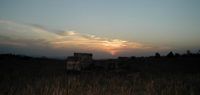
The airport: Many years ago there was a plan to build a landing strip on this meadow. They didn't get very far, and these ruins are all that are left. This is my favorite spot for watching the sun set over the town. |
|
|
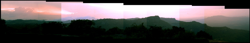
View from the top of Luura, facing west. Full image |
|
|
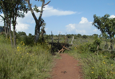
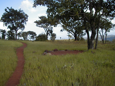
The circle of rocks to the right of the trail, called a geru, is a roadside "mosque" or prayer spot put there to allow the faithful to perform any one of their five daily prayers while travelling. |
|
|
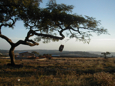
The rusting wheel hanging from the tree branch is the lycée's schoolbell; when struck with a metal bar, it can be heard all over town. |
|
|
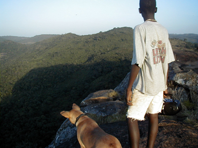
The caretaker of the antenna tower atop Luura. full image |
|
|
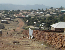
Downtown Maali Ville, seen from the lycée. |
|
|
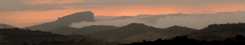
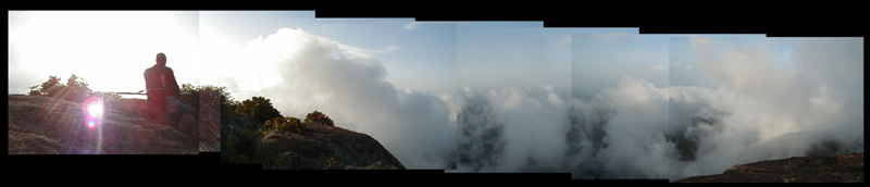
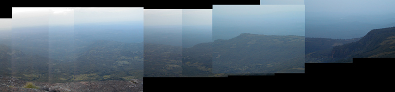
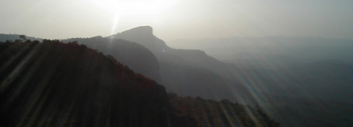
View from the top of Luura, facing northeast. This escarpment forms the northern edge of the Fuuta Jallon highlands, and Luura is the highest peak at 1538 m above sea level. full image |
|
|
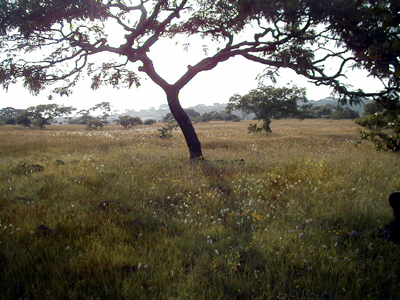
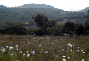
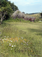
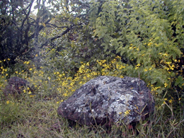
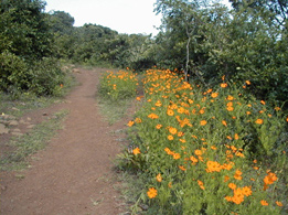
The end of the rainy season is the best time for wildflowers. Because of the altitude, there are species of flowers here that grow nowhere else in the Fuuta. |
|
A NOTE ON ORTHOGRAPHY: I'm spelling the town's name Maali instead of Mali, as it's usually spelled. There are two reasons for this: One, it's the correct Pular spelling of the place name. Two, it helps avoid confusion with the country of the same name. To be consistent, I've used the Pular spelling for all place names mentioned here (i.e. Fuuta Jallon instead of Fouta Djallon). |
|
|
|
|